Autodesk AutoCAD Map 3D

Overview Table of Article
Autodesk AutoCAD Map 3D
AutoCAD Map 3D is an industry-leading GIS application that combines a rich set of features to help you analyze geographic and topological data, as well as to create professional mapping models.
AutoCAD Map 3D software provides access to GIS and data mapping to support planning, design, and data management. Intelligent models and CAD tools help you apply regional and disciplined standards. GIS data integration helps you improve quality, productivity, and asset management.
The complexity of the application guides GIS professionals and engineers by providing them with all the tools they need for GIS infrastructure design, performance analysis and image management. However, the appearance of the interface and the way it is configured within it simplifies the work.
Relying on the powerful modeling mechanism, AutoCAD Map 3D can import and process the data from different sources, including 3D-scanners and transform them into industrial models.
The array of accessible drawing tools helps to create maps for scaling, to change elements, to operate layers and to edit attributes which influence all project. There are several visualization styles that you can apply, allowing you to display the map in 2D or 3D.
The application comes with options to manage coordinate systems or create new ones from scratch, insert standardized map symbols into the project, create dynamic legends (with adjustable data) and scale, create linear reference systems, build maps and topologies, create plans, and complete reports.
Its flexibility allows you to adapt to different display standards, and seamless integration with other CAD applications allows you to easily export the project for further processing. Alternatively, maps can be published online.
AutoCAD Map 3D finds its practical application in various fields. For example, it can help engineers easily find objects connected to a piping system and notify customers of upcoming repairs that may interrupt service.
AutoCAD Map 3D has powerful design, visualization, and analysis capabilities that help engineers create stylized maps and plans. It can help you schedule maintenance and manage infrastructure components from an intuitive work environment.
Features:
- mapping and modeling tools to create designs using GIS data
- drawing, enter and edit information through sources such as LIDAR LIDAR sensor data and three-dimensional laser scanning data
- Convert GIS and CAD data can be used to model common in the industry
- with comprehensive tools for planning and analysis of information.
- Organize a variety of resources and assets in the map, such as water, sewer, gas, electricity and …
- Ability to enter information and coordinate weather maps
- Ability to create and edit a variety of signals and embed dynamic markings in the map, such as arrows, rods and bars graphing and …
- Access to GIS data through various sources of international mapping
- Coordination with popular GIS software such as ArcGIS
Also recommended to you CyberLink PowerDVD Ultra
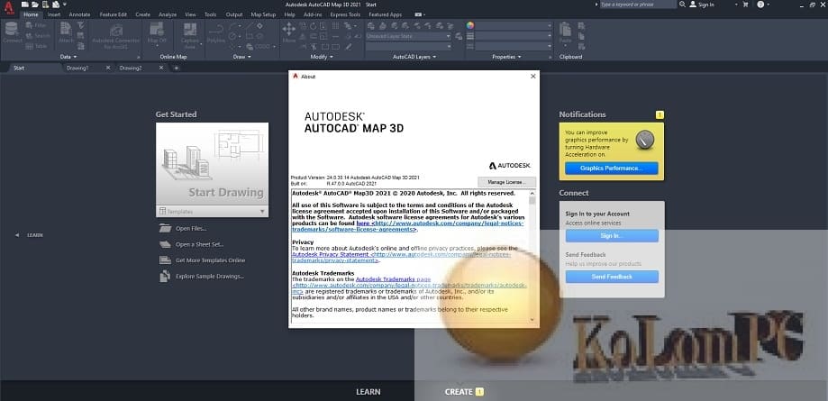
Screenshots:

Password for archiv: kolompc.com
License: ShareWare
Autodesk AutoCAD Map 3D 2024.0.1 – (503,3 Mb)


Danke für das Angebot, aber leider sind beide Links down. Ein Reupp wäre super, da ich das Programm dringend brauche und meine alte Version (2021) ständig die falsche Lizenz erkennt und eine Neuinstallation erfordert.